Distressed Huts off Lothersdale Road
Introduction
The photograph on this page of Distressed Huts off Lothersdale Road by Chris Heaton as part of the Geograph project.
The Geograph project started in 2005 with the aim of publishing, organising and preserving representative images for every square kilometre of Great Britain, Ireland and the Isle of Man.

There are currently over 7.5m images from over 14,400 individuals and you can help contribute to the project by visiting https://www.geograph.org.uk
Distressed Huts off Lothersdale Road
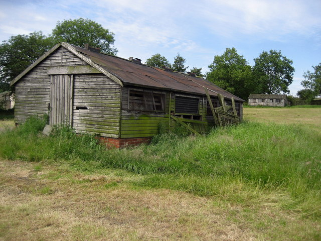
Image: © Chris Heaton Taken: 24 Jun 2008
Passed while following a footpath from Cononley to Glusburn. Their function in life, unknown to me.
Images are licensed for reuse under creativecommons.org/licenses/by-sa/2.0
Image Location
Latitude
53.905121
Longitude
-2.006204