Well at Holmingham Wood
Introduction
The photograph on this page of Well at Holmingham Wood by Grant Sherman as part of the Geograph project.
The Geograph project started in 2005 with the aim of publishing, organising and preserving representative images for every square kilometre of Great Britain, Ireland and the Isle of Man.

There are currently over 7.5m images from over 14,400 individuals and you can help contribute to the project by visiting https://www.geograph.org.uk
Well at Holmingham Wood
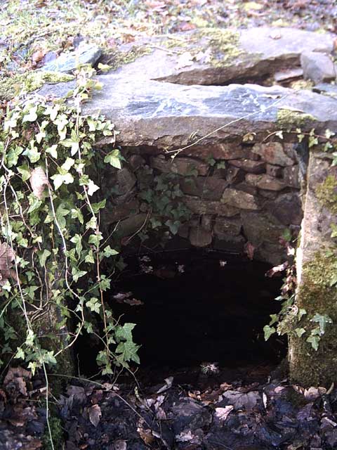
Image: © Grant Sherman Taken: 29 Nov 2005
Taken on the Exe Valley Way. This well is 157m above sea level, ~60m above the valley below. I'm not sure how the water gets here.
Images are licensed for reuse under creativecommons.org/licenses/by-sa/2.0
Image Location


Leaflet Map data © OpenStreetMap
Latitude
50.970678
Longitude
-3.499645