Managed verge
Introduction
The photograph on this page of Managed verge by Jonathan Billinger as part of the Geograph project.
The Geograph project started in 2005 with the aim of publishing, organising and preserving representative images for every square kilometre of Great Britain, Ireland and the Isle of Man.

There are currently over 7.5m images from over 14,400 individuals and you can help contribute to the project by visiting https://www.geograph.org.uk
Managed verge
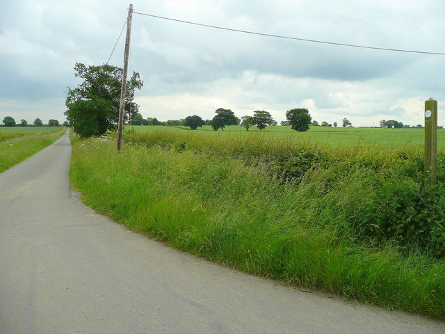
Image: © Jonathan Billinger Taken: 13 Jun 2008
Both sides of the lane to Wheatley Hill are managed for wildlife under the auspices of Nottinghamshire County Council, as informed by the post on the right.
Images are licensed for reuse under creativecommons.org/licenses/by-sa/2.0
Image Location
Latitude
53.13152
Longitude
-0.752403