The Ship , Oldford
Introduction
The photograph on this page of The Ship , Oldford by Phil Williams as part of the Geograph project.
The Geograph project started in 2005 with the aim of publishing, organising and preserving representative images for every square kilometre of Great Britain, Ireland and the Isle of Man.

There are currently over 7.5m images from over 14,400 individuals and you can help contribute to the project by visiting https://www.geograph.org.uk
The Ship , Oldford
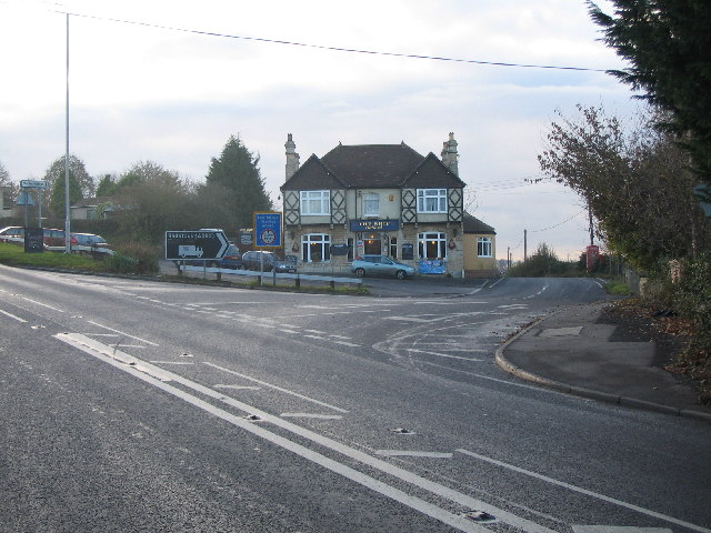
Image: © Phil Williams Taken: 29 Nov 2005
Looking west over the B3090 ( old A361) at the junction of Iron Mill Lane, to The Ship public house at Oldford.
Images are licensed for reuse under creativecommons.org/licenses/by-sa/2.0
Image Location


Leaflet Map data © OpenStreetMap
Latitude
51.250567
Longitude
-2.306571