Ronkswood - Canterbury Road (west side)
Introduction
The photograph on this page of Ronkswood - Canterbury Road (west side) by Peter Whatley as part of the Geograph project.
The Geograph project started in 2005 with the aim of publishing, organising and preserving representative images for every square kilometre of Great Britain, Ireland and the Isle of Man.

There are currently over 7.5m images from over 14,400 individuals and you can help contribute to the project by visiting https://www.geograph.org.uk
Ronkswood - Canterbury Road (west side)
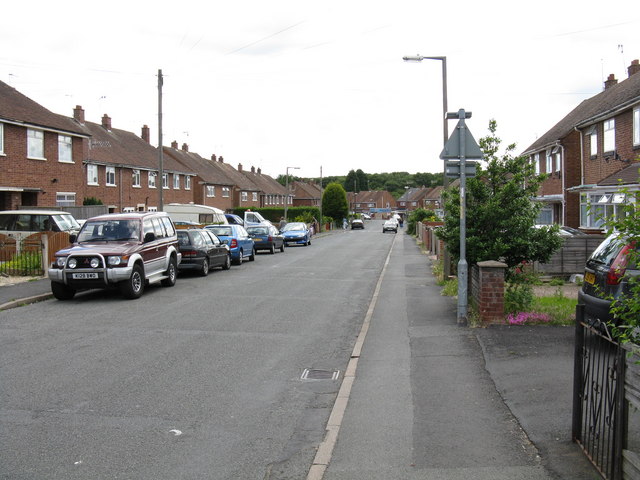
Image: © Peter Whatley Taken: 23 Jun 2008
Canterbury Road forms a loop around the Ronkswood estate. This is on the western side, taken from just below the junction with Lichfield Avenue and the access to the local primary school. Quick photography recommended.
Images are licensed for reuse under creativecommons.org/licenses/by-sa/2.0
Image Location
Latitude
52.191821
Longitude
-2.193493