South along the A46
Introduction
The photograph on this page of South along the A46 by Mat Fascione as part of the Geograph project.
The Geograph project started in 2005 with the aim of publishing, organising and preserving representative images for every square kilometre of Great Britain, Ireland and the Isle of Man.

There are currently over 7.5m images from over 14,400 individuals and you can help contribute to the project by visiting https://www.geograph.org.uk
South along the A46
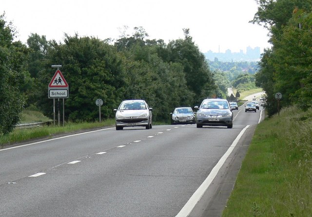
Image: © Mat Fascione Taken: 15 Jun 2008
The skyline of Leicester city centre is visible about seven miles distant.
Images are licensed for reuse under creativecommons.org/licenses/by-sa/2.0
Image Location
Latitude
52.730356
Longitude
-1.071763