Stirley Farm, Almondbury
Introduction
The photograph on this page of Stirley Farm, Almondbury by Humphrey Bolton as part of the Geograph project.
The Geograph project started in 2005 with the aim of publishing, organising and preserving representative images for every square kilometre of Great Britain, Ireland and the Isle of Man.

There are currently over 7.5m images from over 14,400 individuals and you can help contribute to the project by visiting https://www.geograph.org.uk
Stirley Farm, Almondbury
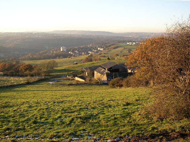
Image: © Humphrey Bolton Taken: 29 Nov 2005
This view is from the top of Park Lane. Although this is generally a steep hillside, the farm is on a terrace of gently sloping land. Berry Brow, with some high-rise flats, can be seen in the distance.
Images are licensed for reuse under creativecommons.org/licenses/by-sa/2.0
Image Location


Leaflet Map data © OpenStreetMap
Latitude
53.617844
Longitude
-1.780764