Walnut Cottage, Blagdon
Introduction
The photograph on this page of Walnut Cottage, Blagdon by Derek Harper as part of the Geograph project.
The Geograph project started in 2005 with the aim of publishing, organising and preserving representative images for every square kilometre of Great Britain, Ireland and the Isle of Man.

There are currently over 7.5m images from over 14,400 individuals and you can help contribute to the project by visiting https://www.geograph.org.uk
Walnut Cottage, Blagdon
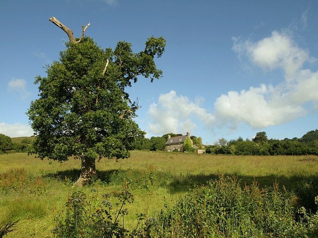
Image: © Derek Harper Taken: 19 Jun 2008
The listed cottage is seen past a disfigured tree from the short footpath connecting Lower and Middle Blagdon Lanes. "This is a good example of a simple vernacular house of the early C18" https://historicengland.org.uk/listing/the-list/list-entry/1208066 .
Images are licensed for reuse under creativecommons.org/licenses/by-sa/2.0
Image Location
Latitude
50.436627
Longitude
-3.609438