Stanley Road Playing Fields
Introduction
The photograph on this page of Stanley Road Playing Fields by Martin Addison as part of the Geograph project.
The Geograph project started in 2005 with the aim of publishing, organising and preserving representative images for every square kilometre of Great Britain, Ireland and the Isle of Man.

There are currently over 7.5m images from over 14,400 individuals and you can help contribute to the project by visiting https://www.geograph.org.uk
Stanley Road Playing Fields
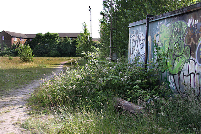
Image: © Martin Addison Taken: 20 Jun 2008
In the foreground, the container for the ground maintenance equipment with a roller rusting in the brambles. There used to be a hut here. The sports ground's two floodlight towers are visible. The housing in the distance is on New Ash Close.
Images are licensed for reuse under creativecommons.org/licenses/by-sa/2.0
Image Location


Leaflet Map data © OpenStreetMap
Latitude
51.591503
Longitude
-0.169224