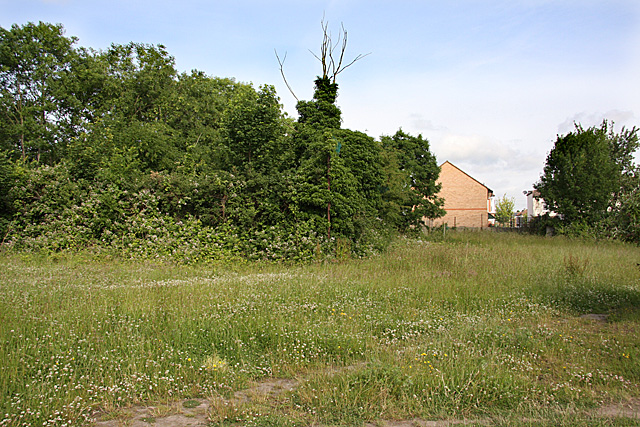
Stanley Road Playing Fields
Introduction
The photograph on this page of Stanley Road Playing Fields by Martin Addison as part of the Geograph project.
The Geograph project started in 2005 with the aim of publishing, organising and preserving representative images for every square kilometre of Great Britain, Ireland and the Isle of Man.
There are currently over 7.5m images from over 14,400 individuals and you can help contribute to the project by visiting https://www.geograph.org.uk

Image: © Martin Addison Taken: 20 Jun 2008
Abandoned pending a decision on their future use - More housing or a return to being a sports facility. The area where the blackberries are flowering was where the cricket nets used to be in the summer months. A long jump track ran away from the photographer, alongside the overgrown fence in the centre and there was a shot-put pit close to the rear fence to the right of centre. The fine gravel that made up the sports field is visible in the foreground where tracks have been worn by people walking their dogs.

