Crudie Farm
Introduction
The photograph on this page of Crudie Farm by Derek Robertson as part of the Geograph project.
The Geograph project started in 2005 with the aim of publishing, organising and preserving representative images for every square kilometre of Great Britain, Ireland and the Isle of Man.

There are currently over 7.5m images from over 14,400 individuals and you can help contribute to the project by visiting https://www.geograph.org.uk
Crudie Farm
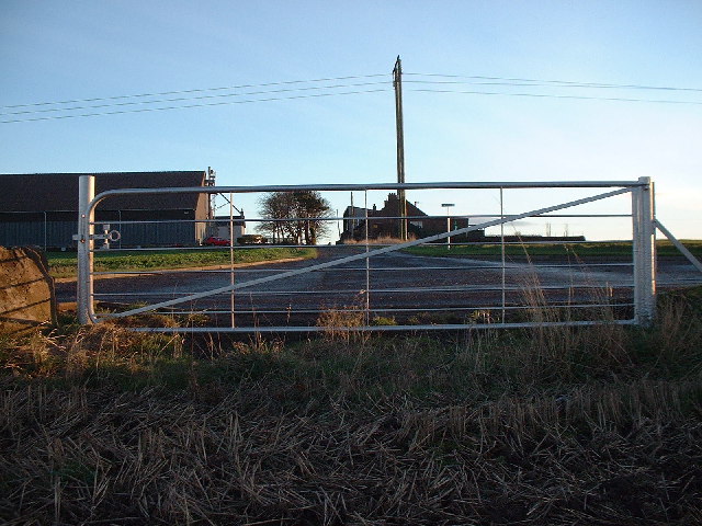
Image: © Derek Robertson Taken: 29 Nov 2005
Looking at the farm buildings from the other side of the Arbroath to Arbirlot road
Images are licensed for reuse under creativecommons.org/licenses/by-sa/2.0
Image Location
Latitude
56.55667
Longitude
-2.631184