The Wheatsheaf
Introduction
The photograph on this page of The Wheatsheaf by Richard Sanders as part of the Geograph project.
The Geograph project started in 2005 with the aim of publishing, organising and preserving representative images for every square kilometre of Great Britain, Ireland and the Isle of Man.

There are currently over 7.5m images from over 14,400 individuals and you can help contribute to the project by visiting https://www.geograph.org.uk
The Wheatsheaf
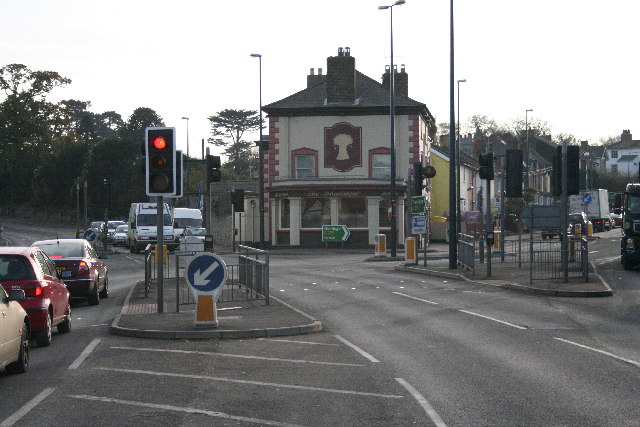
Image: © Richard Sanders Taken: 29 Nov 2005
This public house stands at the busy junction south of Maidstone where the A229 Loose Road branches right towards Hastings and the A274 Sutton Road branches left towards Headcorn and Tenterden. Traffic lights replaced a small roundabout in the 1990s to improve traffic flow and many would say the traffic delays are worse!
Images are licensed for reuse under creativecommons.org/licenses/by-sa/2.0
Image Location
Latitude
51.255983
Longitude
0.530863