Ensbury Park: the end of Victoria Avenue and Victoria Park Road
Introduction
The photograph on this page of Ensbury Park: the end of Victoria Avenue and Victoria Park Road by Chris Downer as part of the Geograph project.
The Geograph project started in 2005 with the aim of publishing, organising and preserving representative images for every square kilometre of Great Britain, Ireland and the Isle of Man.

There are currently over 7.5m images from over 14,400 individuals and you can help contribute to the project by visiting https://www.geograph.org.uk
Ensbury Park: the end of Victoria Avenue and Victoria Park Road
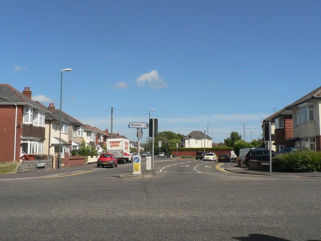
Image: © Chris Downer Taken: 22 Jun 2008
The houses on the left are the odd numbers of Victoria Park Road, ending with number 97 just out of shot, while those on the right are evens of Victoria Avenue, ending with number 86 on the far right. The reason is that Victoria Avenue swings round to the right while Victoria Park Road runs straight ahead. The road signs bottom-left and bottom-right reflect this oddity.
Images are licensed for reuse under creativecommons.org/licenses/by-sa/2.0
Image Location
Latitude
50.749956
Longitude
-1.886267