The Lock Up, Slaithwaite
Introduction
The photograph on this page of The Lock Up, Slaithwaite by Stanley Walker as part of the Geograph project.
The Geograph project started in 2005 with the aim of publishing, organising and preserving representative images for every square kilometre of Great Britain, Ireland and the Isle of Man.

There are currently over 7.5m images from over 14,400 individuals and you can help contribute to the project by visiting https://www.geograph.org.uk
The Lock Up, Slaithwaite
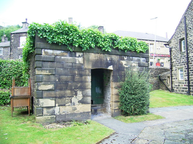
Image: © Stanley Walker Taken: 19 Jun 2008
Next to the Manor House it was built in 1835 but never actually used.
Images are licensed for reuse under creativecommons.org/licenses/by-sa/2.0
Image Location
Latitude
53.622752
Longitude
-1.884454