View across farmland towards Ty'n Fflat
Introduction
The photograph on this page of View across farmland towards Ty'n Fflat by Eric Jones as part of the Geograph project.
The Geograph project started in 2005 with the aim of publishing, organising and preserving representative images for every square kilometre of Great Britain, Ireland and the Isle of Man.

There are currently over 7.5m images from over 14,400 individuals and you can help contribute to the project by visiting https://www.geograph.org.uk
View across farmland towards Ty'n Fflat
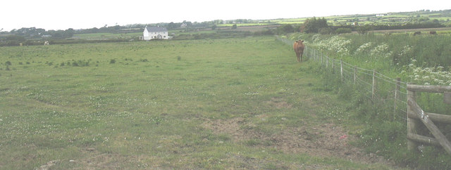
Image: © Eric Jones Taken: 13 Jun 2008
The area shown in this image was one of main mining centres of the Anglesey Coalfield. Coal was mined here in shallow pits - up to 100m below ground in the eighteenth and early nineteenth centuries. There are few remains of the industry left in this area.
Images are licensed for reuse under creativecommons.org/licenses/by-sa/2.0
Image Location


Leaflet Map data © OpenStreetMap
Latitude
53.201747
Longitude
-4.366049