Northern suburbs of Dundee
Introduction
The photograph on this page of Northern suburbs of Dundee by Val Vannet as part of the Geograph project.
The Geograph project started in 2005 with the aim of publishing, organising and preserving representative images for every square kilometre of Great Britain, Ireland and the Isle of Man.

There are currently over 7.5m images from over 14,400 individuals and you can help contribute to the project by visiting https://www.geograph.org.uk
Northern suburbs of Dundee
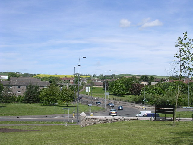
Image: © Val Vannet Taken: 23 May 2004
This view shows traffic on the A90 dual carriageway as it leaves Dundee through its northern suburbs. The wooded valley of the River Dighty is in the foreground with 1950's LA housing in Fintry to the east and Mill o' Mains to the left.
Images are licensed for reuse under creativecommons.org/licenses/by-sa/2.0
Image Location


Leaflet Map data © OpenStreetMap
Latitude
56.488151
Longitude
-2.950772