Elliot Junction
Introduction
The photograph on this page of Elliot Junction by Derek Robertson as part of the Geograph project.
The Geograph project started in 2005 with the aim of publishing, organising and preserving representative images for every square kilometre of Great Britain, Ireland and the Isle of Man.

There are currently over 7.5m images from over 14,400 individuals and you can help contribute to the project by visiting https://www.geograph.org.uk
Elliot Junction
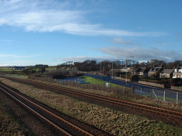
Image: © Derek Robertson Taken: 25 Jan 2003
Taken from the footbridge this is the old Elliot Junction where the Carmylie Pilot used to meet the Dundee-Arbroath line. The Platform was once where the car park is and the line used to cross the road from the white gate in the centre of the picture.
Images are licensed for reuse under creativecommons.org/licenses/by-sa/2.0
Image Location
Latitude
56.545682
Longitude
-2.618803