Forfar Road, Dundee
Introduction
The photograph on this page of Forfar Road, Dundee by Val Vannet as part of the Geograph project.
The Geograph project started in 2005 with the aim of publishing, organising and preserving representative images for every square kilometre of Great Britain, Ireland and the Isle of Man.

There are currently over 7.5m images from over 14,400 individuals and you can help contribute to the project by visiting https://www.geograph.org.uk
Forfar Road, Dundee
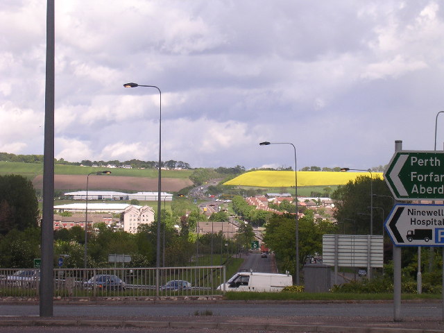
Image: © Val Vannet Taken: 20 May 2004
The view is taken adjacent to the double roundabout on the A90, which as part of Dundee's outer ring road, is here known as the Kingsway. The A90 continues northwards to Forfar through the edge of the city and out into farmland in the Green Belt.
Images are licensed for reuse under creativecommons.org/licenses/by-sa/2.0
Image Location


Leaflet Map data © OpenStreetMap
Latitude
56.480959
Longitude
-2.951404