Preparing 226-230 Warrington Road for demolition
Introduction
The photograph on this page of Preparing 226-230 Warrington Road for demolition by David Long as part of the Geograph project.
The Geograph project started in 2005 with the aim of publishing, organising and preserving representative images for every square kilometre of Great Britain, Ireland and the Isle of Man.

There are currently over 7.5m images from over 14,400 individuals and you can help contribute to the project by visiting https://www.geograph.org.uk
Preparing 226-230 Warrington Road for demolition
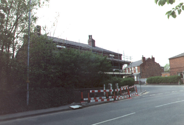
Image: © David Long Taken: Unknown
Many terraced houses in the area were demolished in the 1970s. These houses are being demolished after being blighted by the planned new link road from the M6 to the M61.
Images are licensed for reuse under creativecommons.org/licenses/by-sa/2.0
Image Location


Leaflet Map data © OpenStreetMap
Latitude
53.533751
Longitude
-2.618536