Access to 35, 35A, 37 and 39A Halloughton Road
Introduction
The photograph on this page of Access to 35, 35A, 37 and 39A Halloughton Road by Alan Murray-Rust as part of the Geograph project.
The Geograph project started in 2005 with the aim of publishing, organising and preserving representative images for every square kilometre of Great Britain, Ireland and the Isle of Man.

There are currently over 7.5m images from over 14,400 individuals and you can help contribute to the project by visiting https://www.geograph.org.uk
Access to 35, 35A, 37 and 39A Halloughton Road
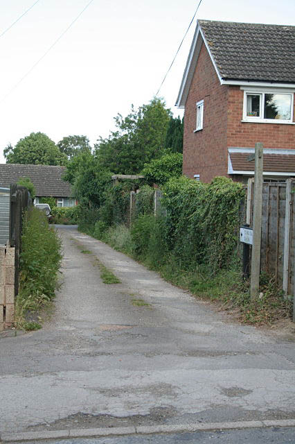
Image: © Alan Murray-Rust Taken: 19 Jun 2008
This is also a public footpath, clearly of long standing; its continuation off this driveway is however far from obvious and took me some time to find.
Images are licensed for reuse under creativecommons.org/licenses/by-sa/2.0
Image Location
Latitude
53.073317
Longitude
-0.963653