Footpath along the dumble
Introduction
The photograph on this page of Footpath along the dumble by Alan Murray-Rust as part of the Geograph project.
The Geograph project started in 2005 with the aim of publishing, organising and preserving representative images for every square kilometre of Great Britain, Ireland and the Isle of Man.

There are currently over 7.5m images from over 14,400 individuals and you can help contribute to the project by visiting https://www.geograph.org.uk
Footpath along the dumble
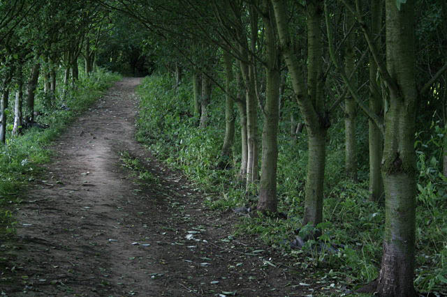
Image: © Alan Murray-Rust Taken: 19 Jun 2008
Dumbles tend to be naturally wooded where the steep sides are unsuitable for agriculture, but here the planting is clearly deliberate.
Images are licensed for reuse under creativecommons.org/licenses/by-sa/2.0
Image Location
Latitude
53.074243
Longitude
-0.966766