The end of The Street, Adisham
Introduction
The photograph on this page of The end of The Street, Adisham by Nick Smith as part of the Geograph project.
The Geograph project started in 2005 with the aim of publishing, organising and preserving representative images for every square kilometre of Great Britain, Ireland and the Isle of Man.

There are currently over 7.5m images from over 14,400 individuals and you can help contribute to the project by visiting https://www.geograph.org.uk
The end of The Street, Adisham
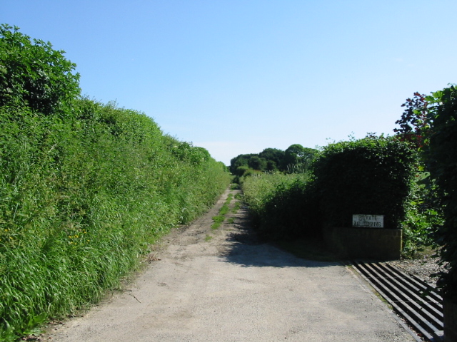
Image: © Nick Smith Taken: 9 Jun 2008
In fact the end of the surfaced road which is The Street through Adisham, the un-made road continues as a footpath/bridleway and farm track.
Images are licensed for reuse under creativecommons.org/licenses/by-sa/2.0
Image Location


Leaflet Map data © OpenStreetMap
Latitude
51.23437
Longitude
1.1837