Monckton Drive
Introduction
The photograph on this page of Monckton Drive by Alan Murray-Rust as part of the Geograph project.
The Geograph project started in 2005 with the aim of publishing, organising and preserving representative images for every square kilometre of Great Britain, Ireland and the Isle of Man.

There are currently over 7.5m images from over 14,400 individuals and you can help contribute to the project by visiting https://www.geograph.org.uk
Monckton Drive
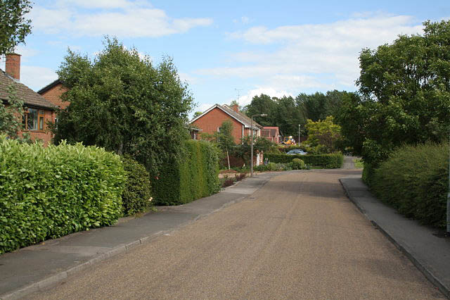
Image: © Alan Murray-Rust Taken: 19 Jun 2008
Modern housing development. This road also forms path of the network of pedestrian routes to the town centre.
Images are licensed for reuse under creativecommons.org/licenses/by-sa/2.0
Image Location
Latitude
53.080955
Longitude
-0.95302