Aberdour Road
Introduction
The photograph on this page of Aberdour Road by Richard Webb as part of the Geograph project.
The Geograph project started in 2005 with the aim of publishing, organising and preserving representative images for every square kilometre of Great Britain, Ireland and the Isle of Man.

There are currently over 7.5m images from over 14,400 individuals and you can help contribute to the project by visiting https://www.geograph.org.uk
Aberdour Road
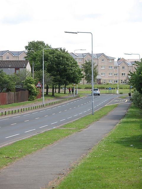
Image: © Richard Webb Taken: 19 Jun 2008
Looking eastwards to a new roundabout and the massive housing developments beyond. These fill the gap between the town and the M90.
Images are licensed for reuse under creativecommons.org/licenses/by-sa/2.0
Image Location
Latitude
56.05997
Longitude
-3.415891