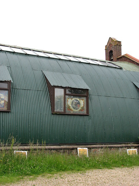
St Paul's church
Introduction
The photograph on this page of St Paul's church by Evelyn Simak as part of the Geograph project.
The Geograph project started in 2005 with the aim of publishing, organising and preserving representative images for every square kilometre of Great Britain, Ireland and the Isle of Man.
There are currently over 7.5m images from over 14,400 individuals and you can help contribute to the project by visiting https://www.geograph.org.uk

Image: © Evelyn Simak Taken: 18 Jun 2008
Detail, viewed from car park. St Paul's > http://www.geograph.org.uk/photo/850967 - http://www.geograph.org.uk/photo/850973 - http://www.geograph.org.uk/photo/850979 was built from a Nissen hut, erected as a temporary church building in order to cater for the growing population of Hellesdon - more than half a century later the church still stands. A couple of years ago a second altar > http://www.geograph.org.uk/photo/850984 was set up along the east wall, with the chairs providing seating for the congregation grouped around it. The modern stained glass windows > http://www.geograph.org.uk/photo/850990 - http://www.geograph.org.uk/photo/850994 - http://www.geograph.org.uk/photo/850997 were installed at that time. The church is kept locked but an Open Day, an event aimed mainly at the over 50s, is held every Thursday morning from 10-12.

