North end of Windermere Road
Introduction
The photograph on this page of North end of Windermere Road by Dr Neil Clifton as part of the Geograph project.
The Geograph project started in 2005 with the aim of publishing, organising and preserving representative images for every square kilometre of Great Britain, Ireland and the Isle of Man.

There are currently over 7.5m images from over 14,400 individuals and you can help contribute to the project by visiting https://www.geograph.org.uk
North end of Windermere Road
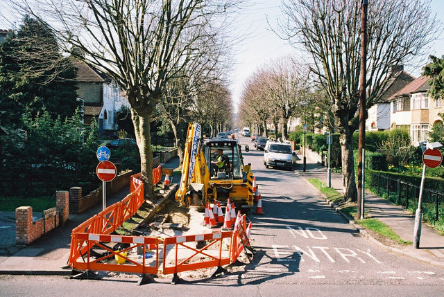
Image: © Dr Neil Clifton Taken: 31 Mar 2004
Workmen removing the 'no entry' restriction at the north end of Windermere Road, the reason being that the south end of the road will soon be sealed off completely by construction of the Coulsdon Inner Relief Road.
Images are licensed for reuse under creativecommons.org/licenses/by-sa/2.0
Image Location
Latitude
51.326043
Longitude
-0.129436