Nondescript suburbia
Introduction
The photograph on this page of Nondescript suburbia by Peter Whatley as part of the Geograph project.
The Geograph project started in 2005 with the aim of publishing, organising and preserving representative images for every square kilometre of Great Britain, Ireland and the Isle of Man.

There are currently over 7.5m images from over 14,400 individuals and you can help contribute to the project by visiting https://www.geograph.org.uk
Nondescript suburbia
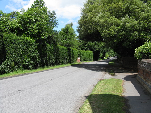
Image: © Peter Whatley Taken: 19 Jun 2008
A singularly undistinguished section of the A443 on the southern edge of Hallow. The street sign for Parkfield Lane is just visible to the left of the car in the distance.
Images are licensed for reuse under creativecommons.org/licenses/by-sa/2.0
Image Location
Latitude
52.212482
Longitude
-2.249929