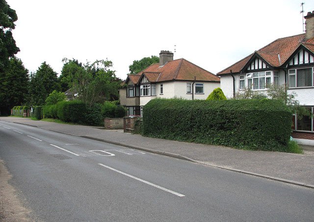
View south along Low Road
Introduction
The photograph on this page of View south along Low Road by Evelyn Simak as part of the Geograph project.
The Geograph project started in 2005 with the aim of publishing, organising and preserving representative images for every square kilometre of Great Britain, Ireland and the Isle of Man.
There are currently over 7.5m images from over 14,400 individuals and you can help contribute to the project by visiting https://www.geograph.org.uk

Image: © Evelyn Simak Taken: 18 Jun 2008
Hellesdon is a large suburb of Norwich. Signs of very early settlement, such as a variety of flint tools (believed to be at least 4,000 years old) have been unearthed in the area. Bronze axe heads were found near Hellesdon Hall and a skeleton dating from around 600 CE was discovered in Low Road. It is not clear where the old name for Hellesdon - Hailesduna - originates from. It is believed that Edmund, the King of the East Angles, may have been martyred here. In 985, Abbo of Fleury, who at Ramsey Abbey (Cambridgeshire) compiled the 'Life of St Edmund', writes that he heard the Archbishop relate a story that came from a young man who had heard it from a very old man who claimed to have been King Edmund's armour bearer at the time of his death. On his capture, Edmund was whipped and tied to a tree, and shot with arrows. He was then beheaded and his head thrown into a bramble thicket in Hegelisdun Wood - hence the association with Hailesduna, present-day Hellesdon. The King's head was later found, guarded by a wolf, and according to the story the body was buried in a small chapel built nearby for the purpose. The site of the chapel is believed to be the site where St Mary's church stands. The church and the dead body of King Edmund, guarded by a wolf, are depicted on the village sign > http://www.geograph.org.uk/photo/850757.

