2008 : Joliffe Arms, Kilmersdon
Introduction
The photograph on this page of 2008 : Joliffe Arms, Kilmersdon by Maurice Pullin as part of the Geograph project.
The Geograph project started in 2005 with the aim of publishing, organising and preserving representative images for every square kilometre of Great Britain, Ireland and the Isle of Man.

There are currently over 7.5m images from over 14,400 individuals and you can help contribute to the project by visiting https://www.geograph.org.uk
2008 : Joliffe Arms, Kilmersdon
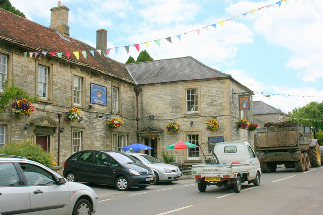
Image: © Maurice Pullin Taken: 17 Jun 2008
In the 19th century Kilmersdon was a mining village. It was also surrounded by stone quarries. For photos of Kilmersdon in the 1950/60s see http://www.francisfrith.co.uk/search/england/avon/kilmersdon/photos/kilmersdon_photos.htm
Images are licensed for reuse under creativecommons.org/licenses/by-sa/2.0
Image Location


Leaflet Map data © OpenStreetMap
Latitude
51.269932
Longitude
-2.437571