Road to Loch Choire
Introduction
The photograph on this page of Road to Loch Choire by Richard Webb as part of the Geograph project.
The Geograph project started in 2005 with the aim of publishing, organising and preserving representative images for every square kilometre of Great Britain, Ireland and the Isle of Man.

There are currently over 7.5m images from over 14,400 individuals and you can help contribute to the project by visiting https://www.geograph.org.uk
Road to Loch Choire
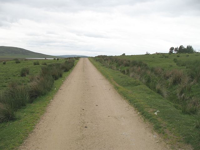
Image: © Richard Webb Taken: 16 Jun 2008
The start of the long private road into Loch Choire Lodge. The road is of a very high quality. As well as Loch Choire Lodge, it also provides access to fishing on Loch Badanloch and other lochs, and links up with a path that runs over to the Crask Inn, 33 km away to the west.
Images are licensed for reuse under creativecommons.org/licenses/by-sa/2.0
Image Location


Leaflet Map data © OpenStreetMap
Latitude
58.26951
Longitude
-4.04685