Farmland, Dalmore
Introduction
The photograph on this page of Farmland, Dalmore by Richard Webb as part of the Geograph project.
The Geograph project started in 2005 with the aim of publishing, organising and preserving representative images for every square kilometre of Great Britain, Ireland and the Isle of Man.

There are currently over 7.5m images from over 14,400 individuals and you can help contribute to the project by visiting https://www.geograph.org.uk
Farmland, Dalmore
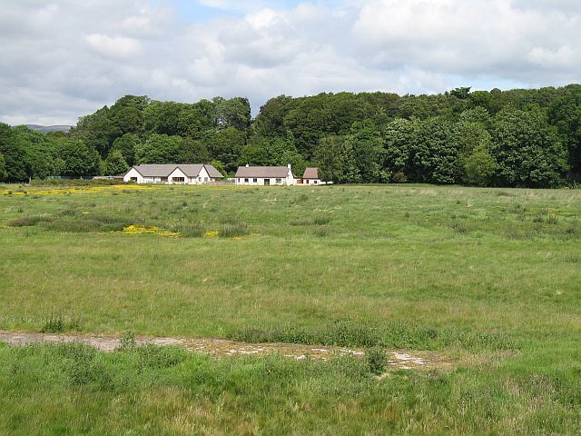
Image: © Richard Webb Taken: 16 Jun 2008
Concrete in the foreground suggests that this land was once used for other purposes. There are some military looking remains on the other side of the A9 near the distillery.
Images are licensed for reuse under creativecommons.org/licenses/by-sa/2.0
Image Location


Leaflet Map data © OpenStreetMap
Latitude
57.689118
Longitude
-4.253248