Spinning down the Stanegate at Grindon Hill
Introduction
The photograph on this page of Spinning down the Stanegate at Grindon Hill by Oliver Dixon as part of the Geograph project.
The Geograph project started in 2005 with the aim of publishing, organising and preserving representative images for every square kilometre of Great Britain, Ireland and the Isle of Man.

There are currently over 7.5m images from over 14,400 individuals and you can help contribute to the project by visiting https://www.geograph.org.uk
Spinning down the Stanegate at Grindon Hill
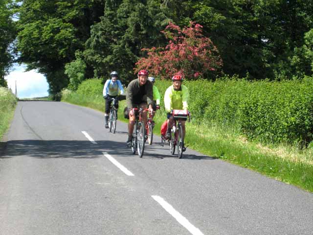
Image: © Oliver Dixon Taken: 14 Jun 2008
The Stanegate is an ancient road, followed in part by Hadrian's Cycleway (National Cycle Network route 72) http://www.cycle-routes.org/HADRIANSCYCLEWAY/
Images are licensed for reuse under creativecommons.org/licenses/by-sa/2.0
Image Location
Latitude
55.006444
Longitude
-2.269825