The Yorkshire Wolds Way
Introduction
The photograph on this page of The Yorkshire Wolds Way by Colin Westley as part of the Geograph project.
The Geograph project started in 2005 with the aim of publishing, organising and preserving representative images for every square kilometre of Great Britain, Ireland and the Isle of Man.

There are currently over 7.5m images from over 14,400 individuals and you can help contribute to the project by visiting https://www.geograph.org.uk
The Yorkshire Wolds Way
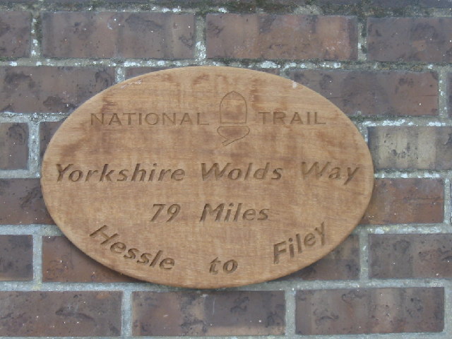
Image: © Colin Westley Taken: 29 May 2005
The Yorkshire Wolds Way which was opened on 2nd October 1982 is a 79 mile, long distance path starting at Hessle Haven on the Humber, and finishing at the cliffs above Filey on the East Riding coast. This sign is at the public car park in Market Weighton, a favourite starting point for walkers.
Images are licensed for reuse under creativecommons.org/licenses/by-sa/2.0
Image Location
Latitude
53.865032
Longitude
-0.669399