Stare Dam, Rohallion Loch
Introduction
The photograph on this page of Stare Dam, Rohallion Loch by Kirsty Smith as part of the Geograph project.
The Geograph project started in 2005 with the aim of publishing, organising and preserving representative images for every square kilometre of Great Britain, Ireland and the Isle of Man.

There are currently over 7.5m images from over 14,400 individuals and you can help contribute to the project by visiting https://www.geograph.org.uk
Stare Dam, Rohallion Loch
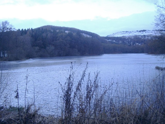
Image: © Kirsty Smith Taken: 25 Nov 2005
Taken towards dusk which is why it's sub-fusc. Where the texture of the surface changes, in the middle of the loch, the surface is actually frozen.
Images are licensed for reuse under creativecommons.org/licenses/by-sa/2.0
Image Location
Latitude
56.528869
Longitude
-3.547636