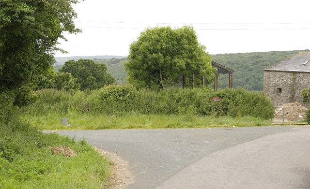
Holton Lane
Introduction
The photograph on this page of Holton Lane by Rabbi WP Thinrod as part of the Geograph project.
The Geograph project started in 2005 with the aim of publishing, organising and preserving representative images for every square kilometre of Great Britain, Ireland and the Isle of Man.
There are currently over 7.5m images from over 14,400 individuals and you can help contribute to the project by visiting https://www.geograph.org.uk

Image: © Rabbi WP Thinrod Taken: 18 Jun 2008
Explorer 109 and Cornwall CC definitive map show this lane to be a public footpath but residents disagree. The reverse leg involves crossing the A30 dual-carriageway suggesting that Racecourse Fm was cut in half by the Bodmin Bypass, so they may have a point.

