Rough grazing near Blochdy Quarry
Introduction
The photograph on this page of Rough grazing near Blochdy Quarry by Eric Jones as part of the Geograph project.
The Geograph project started in 2005 with the aim of publishing, organising and preserving representative images for every square kilometre of Great Britain, Ireland and the Isle of Man.

There are currently over 7.5m images from over 14,400 individuals and you can help contribute to the project by visiting https://www.geograph.org.uk
Rough grazing near Blochdy Quarry
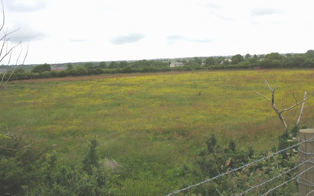
Image: © Eric Jones Taken: 13 Jun 2008
On the 1953 edition OS plan, this field is marked as the site of a Romano-British settlement.
Images are licensed for reuse under creativecommons.org/licenses/by-sa/2.0
Image Location
Latitude
53.174358
Longitude
-4.286129