Blue Pits Top Lock No 51, Rochdale Canal, Castleton
Introduction
The photograph on this page of Blue Pits Top Lock No 51, Rochdale Canal, Castleton by Dr Neil Clifton as part of the Geograph project.
The Geograph project started in 2005 with the aim of publishing, organising and preserving representative images for every square kilometre of Great Britain, Ireland and the Isle of Man.

There are currently over 7.5m images from over 14,400 individuals and you can help contribute to the project by visiting https://www.geograph.org.uk
Blue Pits Top Lock No 51, Rochdale Canal, Castleton
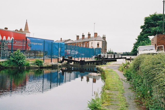
Image: © Dr Neil Clifton Taken: 4 Jul 2003
The village which became Castleton was previously called Blue Pits, hence the naming of the three canal locks here.
Images are licensed for reuse under creativecommons.org/licenses/by-sa/2.0
Image Location


Leaflet Map data © OpenStreetMap
Latitude
53.592027
Longitude
-2.177026