Highfields Farm sign
Introduction
The photograph on this page of Highfields Farm sign by Jonathan Billinger as part of the Geograph project.
The Geograph project started in 2005 with the aim of publishing, organising and preserving representative images for every square kilometre of Great Britain, Ireland and the Isle of Man.

There are currently over 7.5m images from over 14,400 individuals and you can help contribute to the project by visiting https://www.geograph.org.uk
Highfields Farm sign
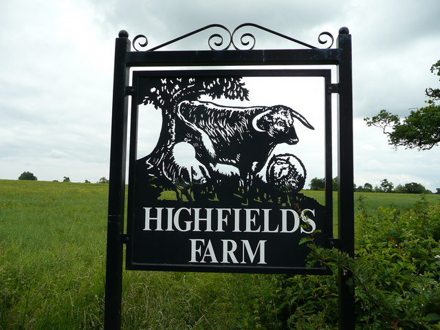
Image: © Jonathan Billinger Taken: 13 Jun 2008
Very nicely done and visible from the B5000 between Pinwall and Grendon.
Images are licensed for reuse under creativecommons.org/licenses/by-sa/2.0
Image Location
Latitude
52.602988
Longitude
-1.556997