Thornham Cycleway
Introduction
The photograph on this page of Thornham Cycleway by michael ely as part of the Geograph project.
The Geograph project started in 2005 with the aim of publishing, organising and preserving representative images for every square kilometre of Great Britain, Ireland and the Isle of Man.

There are currently over 7.5m images from over 14,400 individuals and you can help contribute to the project by visiting https://www.geograph.org.uk
Thornham Cycleway
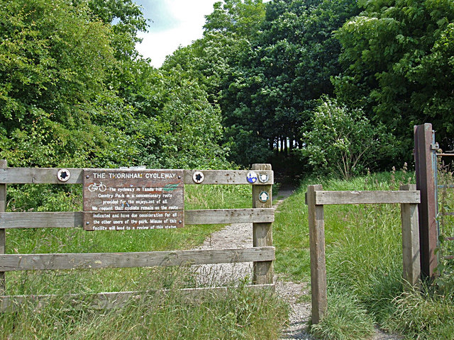
Image: © michael ely Taken: 16 Jun 2008
Here the cycleway leads from Oozewood Road into Tandle Hill Country Park. The notice reminds users that it is a concessionary route and misuse could result in the facility being withdrawn.
Images are licensed for reuse under creativecommons.org/licenses/by-sa/2.0
Image Location
Latitude
53.570943
Longitude
-2.148549