Bwlchmawr, Dinas Cross
Introduction
The photograph on this page of Bwlchmawr, Dinas Cross by Natasha Ceridwen de Chroustchoff as part of the Geograph project.
The Geograph project started in 2005 with the aim of publishing, organising and preserving representative images for every square kilometre of Great Britain, Ireland and the Isle of Man.

There are currently over 7.5m images from over 14,400 individuals and you can help contribute to the project by visiting https://www.geograph.org.uk
Bwlchmawr, Dinas Cross
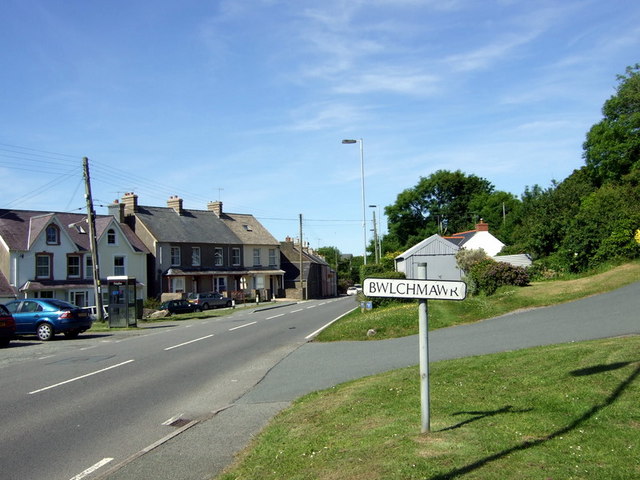
Image: © Natasha Ceridwen de Chroustchoff Taken: 16 Jun 2008
Cluster of houses around the "big gap" of the name Bwlch Mawr, where the A487 old turnpike road passes below the Castell mound, possibly once fortified, that lies immediately to the east. There used to be post office and shop here, now just a phone box.
Images are licensed for reuse under creativecommons.org/licenses/by-sa/2.0
Image Location
Latitude
52.006874
Longitude
-4.909843