Tal ponciau bach
Introduction
The photograph on this page of Tal ponciau bach by Eric Jones as part of the Geograph project.
The Geograph project started in 2005 with the aim of publishing, organising and preserving representative images for every square kilometre of Great Britain, Ireland and the Isle of Man.

There are currently over 7.5m images from over 14,400 individuals and you can help contribute to the project by visiting https://www.geograph.org.uk
Tal ponciau bach
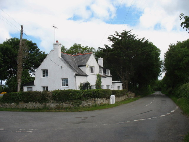
Image: © Eric Jones Taken: 13 Jun 2008
This house now stands in a haven of peace. Prior to the building of the new section of the A 4080 between Ty'n-llidiart and the gate of Maes-y-porth all traffic came past this house.
Images are licensed for reuse under creativecommons.org/licenses/by-sa/2.0
Image Location
Latitude
53.162623
Longitude
-4.316472