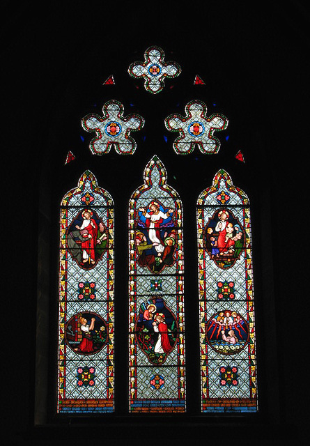
St Peter's church - east window
Introduction
The photograph on this page of St Peter's church - east window by Evelyn Simak as part of the Geograph project.
The Geograph project started in 2005 with the aim of publishing, organising and preserving representative images for every square kilometre of Great Britain, Ireland and the Isle of Man.
There are currently over 7.5m images from over 14,400 individuals and you can help contribute to the project by visiting https://www.geograph.org.uk

Image: © Evelyn Simak Taken: 15 Jun 2008
Believed to be by Frederick Preedy (1869). St Peter's church > http://www.geograph.org.uk/photo/845887 has its C13 tower offset and located at the west end of the south wall, rather than at the west end of the building > http://www.geograph.org.uk/photo/845894 - a peculiarity that a number of other churches in the area share. The nave was destroyed and the chancel defaced by fire in 1867 and as a consequence not many details of the old church have survived > http://www.geograph.org.uk/photo/845909 - http://www.geograph.org.uk/photo/845949. The arched tomb recess in the north nave wall is a C19 copy > http://www.geograph.org.uk/photo/845912. The Victorian font is made of shiny dark Porphyry marble and decorated with an etched symbol of the Holy Trinity. The east window is a memorial to the family of the Rev. Rowland Ingram and is believed to have been designed by Frederick Preedy in 1869 see > http://www.geograph.org.uk/photo/845929 for detail. Fragments of medieval stained glass have been inset in one of the nave south windows > http://www.geograph.org.uk/photo/845935. The church is kept locked. For more information see: http://www.norfolkchurches.co.uk/littleellingham/littleellingham.htm

