The Drumadonnell River near Ballyward
Introduction
The photograph on this page of The Drumadonnell River near Ballyward by Albert Bridge as part of the Geograph project.
The Geograph project started in 2005 with the aim of publishing, organising and preserving representative images for every square kilometre of Great Britain, Ireland and the Isle of Man.

There are currently over 7.5m images from over 14,400 individuals and you can help contribute to the project by visiting https://www.geograph.org.uk
The Drumadonnell River near Ballyward
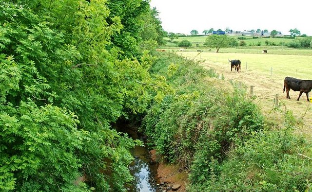
Image: © Albert Bridge Taken: 15 Jun 2008
The Drumadonnell River, looking downstream, from the bridge carrying the Fruitvalley Road. It flows into the Bann near Ballyroney. Very low after a long dry spell.
Images are licensed for reuse under creativecommons.org/licenses/by-sa/2.0
Image Location


Leaflet Map data © OpenStreetMap
Latitude
54.281524
Longitude
-6.056199