Steep road in Coytrahen
Introduction
The photograph on this page of Steep road in Coytrahen by eswales as part of the Geograph project.
The Geograph project started in 2005 with the aim of publishing, organising and preserving representative images for every square kilometre of Great Britain, Ireland and the Isle of Man.

There are currently over 7.5m images from over 14,400 individuals and you can help contribute to the project by visiting https://www.geograph.org.uk
Steep road in Coytrahen
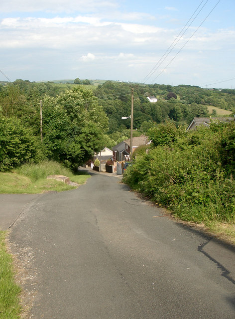
Image: © eswales Taken: 14 Jun 2008
Eastward view of the road in Coytrahen which is marked with a 1 in 7 to 1 in 5 gradient symbol on Ordnance Survey maps.
Images are licensed for reuse under creativecommons.org/licenses/by-sa/2.0
Image Location
Latitude
51.556058
Longitude
-3.603932