K8 at Edwards Pill
Introduction
The photograph on this page of K8 at Edwards Pill by Shaun Butler as part of the Geograph project.
The Geograph project started in 2005 with the aim of publishing, organising and preserving representative images for every square kilometre of Great Britain, Ireland and the Isle of Man.

There are currently over 7.5m images from over 14,400 individuals and you can help contribute to the project by visiting https://www.geograph.org.uk
K8 at Edwards Pill
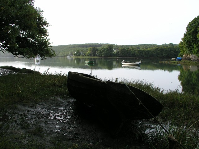
Image: © Shaun Butler Taken: 12 Sep 2003
Old compass fishing dinghy at Edwards Pill, with Llangwm Ferry in the background. Benton Wood in the distance.
Images are licensed for reuse under creativecommons.org/licenses/by-sa/2.0
Image Location
Latitude
51.746177
Longitude
-4.905073