Ridge and Furrow, Welland
Introduction
The photograph on this page of Ridge and Furrow, Welland by Bob Embleton as part of the Geograph project.
The Geograph project started in 2005 with the aim of publishing, organising and preserving representative images for every square kilometre of Great Britain, Ireland and the Isle of Man.

There are currently over 7.5m images from over 14,400 individuals and you can help contribute to the project by visiting https://www.geograph.org.uk
Ridge and Furrow, Welland
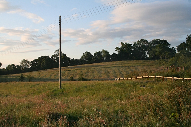
Image: © Bob Embleton Taken: 15 Jun 2008
Caught in the early morning sunlight. This was quite prominent thirty years ago, but then got ploughed out - or so we thought. Taken from the entrance to Lawn Farm, Drake Street.
Images are licensed for reuse under creativecommons.org/licenses/by-sa/2.0
Image Location


Leaflet Map data © OpenStreetMap
Latitude
52.055779
Longitude
-2.288722