View to the downs, Alton Barnes
Introduction
The photograph on this page of View to the downs, Alton Barnes by Andrew Smith as part of the Geograph project.
The Geograph project started in 2005 with the aim of publishing, organising and preserving representative images for every square kilometre of Great Britain, Ireland and the Isle of Man.

There are currently over 7.5m images from over 14,400 individuals and you can help contribute to the project by visiting https://www.geograph.org.uk
View to the downs, Alton Barnes
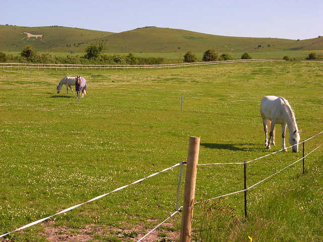
Image: © Andrew Smith Taken: 7 Jun 2008
Looking up from the road to Wilcot to the escarpment between Walkers Hill and Milk Hill on the Pewsey Downs.
Images are licensed for reuse under creativecommons.org/licenses/by-sa/2.0
Image Location


Leaflet Map data © OpenStreetMap
Latitude
51.36057
Longitude
-1.84771