Maple Drive
Introduction
The photograph on this page of Maple Drive by Simon Carey as part of the Geograph project.
The Geograph project started in 2005 with the aim of publishing, organising and preserving representative images for every square kilometre of Great Britain, Ireland and the Isle of Man.

There are currently over 7.5m images from over 14,400 individuals and you can help contribute to the project by visiting https://www.geograph.org.uk
Maple Drive
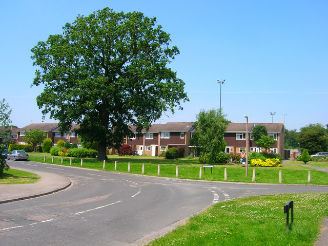
Image: © Simon Carey Taken: 8 Jun 2008
Taken from the junction with Leylands Park, this part was built in the 1970s which originally made the estate a cul-de-sac, the extension to London Road was filled in the 1980s.
Images are licensed for reuse under creativecommons.org/licenses/by-sa/2.0
Image Location


Leaflet Map data © OpenStreetMap
Latitude
50.966696
Longitude
-0.124681