Wrapped bales, Higher Wraxall
Introduction
The photograph on this page of Wrapped bales, Higher Wraxall by Nigel Mykura as part of the Geograph project.
The Geograph project started in 2005 with the aim of publishing, organising and preserving representative images for every square kilometre of Great Britain, Ireland and the Isle of Man.

There are currently over 7.5m images from over 14,400 individuals and you can help contribute to the project by visiting https://www.geograph.org.uk
Wrapped bales, Higher Wraxall
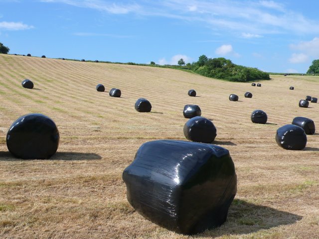
Image: © Nigel Mykura Taken: 10 Jun 2008
View looking north from the road from Higher Wraxall to the Kingcombe Crossroads on the A356. The recently harvested and wrapped bales of hay await collection.
Images are licensed for reuse under creativecommons.org/licenses/by-sa/2.0
Image Location
Latitude
50.808889
Longitude
-2.618746