Valebridge Viaduct
Introduction
The photograph on this page of Valebridge Viaduct by Simon Carey as part of the Geograph project.
The Geograph project started in 2005 with the aim of publishing, organising and preserving representative images for every square kilometre of Great Britain, Ireland and the Isle of Man.

There are currently over 7.5m images from over 14,400 individuals and you can help contribute to the project by visiting https://www.geograph.org.uk
Valebridge Viaduct
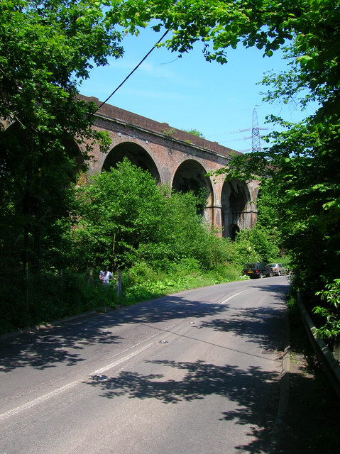
Image: © Simon Carey Taken: 8 Jun 2008
Taking the London-Brighton line over small valley formed by a tributary of the western Adur. Taken from Valebridge Road, an old route which now connects Burgess Hill to Haywards Heath. The gate to the left is an entrance to Bedelands Farm Nature Reserve.
Images are licensed for reuse under creativecommons.org/licenses/by-sa/2.0
Image Location


Leaflet Map data © OpenStreetMap
Latitude
50.976633
Longitude
-0.116303